NextNav, a pioneer in 3D geolocation services, has announced that its Metropolitan Beacon System (MBS) service has been accepted for use by National Aeronautics and Space Administration (NASA).
NASA will use NextNav’s MBS network as part of its City Environment for Range Testing of Autonomous Integrated Navigation (CERTAIN) facilities at NASA’s Langley Research Center in Hampton, Virginia. CERTAIN supports, among other programs, Urban Air Mobility (UAM), an air transportation system with myriad applications from small package delivery drones to passenger-carrying air taxis.
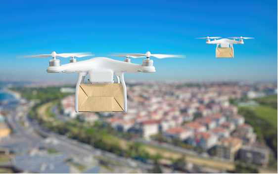
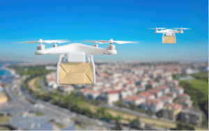
NextNav’s MBS system facilitates urban drone operations where satellite-based GPS signals may not be available, and the need to reliably know a drone’s location horizontally and vertically is critical to ensure safe operations in urban air traffic corridors.
“NextNav’s MBS system provides us with new tools for the development of navigation systems in environments where GPS has traditionally been challenged,” said Evan Dill, Safety-Critical Avionics Systems Branch of NASA. “We’re looking forward to working with MBS as we develop new approaches to the operation of unmanned systems in urban environments.”
NextNav’s wide-area terrestrial positioning network ensures accurate and secure location services, which is critical for unmanned aircraft navigation. In addition, MBS complements and integrates seamlessly with GPS and provides a level of geo-redundancy ensuring a safe and efficient system for future air transportation in cities and urban areas.
“We are proud to work with NASA and integrate MBS into its urban drone operations,” said Ganesh Pattabiraman, co-founder and CEO of NextNav. “The MBS system is designed for secure, reliable and consistent 3D Geolocation capabilities which are important for autonomous systems such as drones.
“NASA’s acquisition of the MBS system is an exciting milestone for MBS technology and a great partnership with NASA to address the key challenges in urban drone navigation and make it possible to explore new opportunities in unmanned operations.”
The Federal Aviation Administration (FAA) believes that by 2022 there will be over 700,000 drones delivering packages, monitoring traffic and aiding in search-and-rescue operations.