When RHOTHETA International, a radio direction finding (RDF) and location systems developer, started operations in 1989, its specialty was air traffic control (ATC) products. Its initial development was the RT-1000 direction finder system for ATC and vessel traffic services applications, which proved a winner with over 100 systems deployed worldwide.
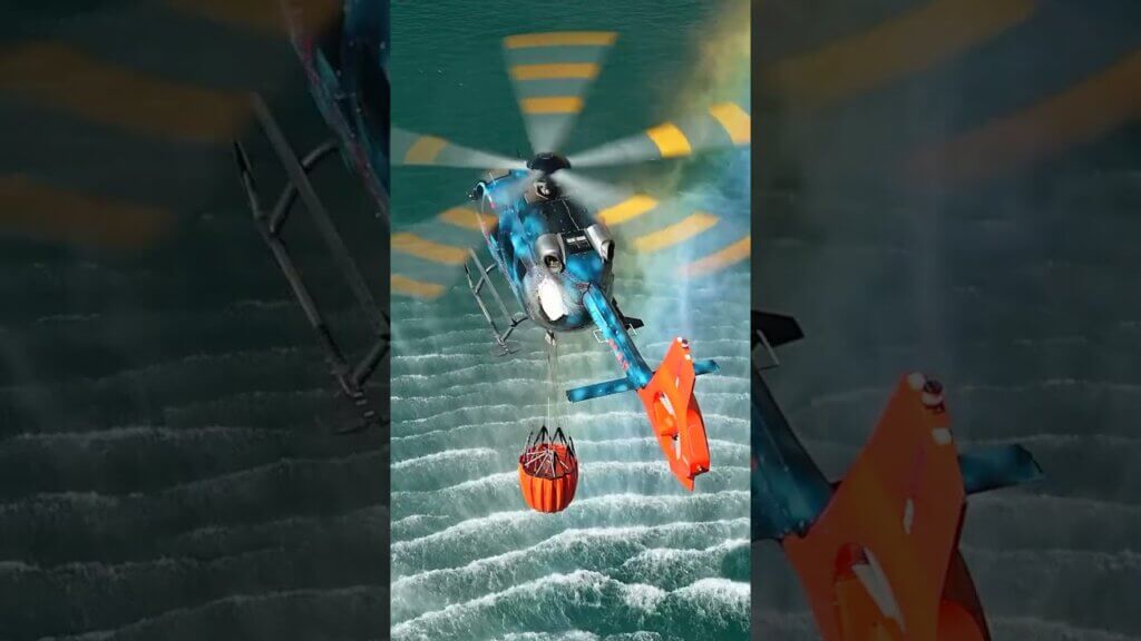
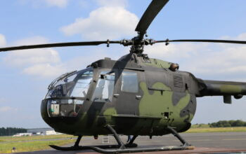
 That success led to frequent requests for direction-finder systems for search-and-rescue (SAR) helicopters and fixed-wing aircraft applications.
At the time, direction-finding technology was evolving to new-generation, lighter and more compact components. The company spotted a market niche: RDF solutions for aircraft, drone and ground SAR, and public-safety applications. These products are based on the Doppler method and are capable of receiving, calculating bearing, and decoding analog and digital radio transmissions in VHF and UHF bands.
Ventura Rigol, RHOTHETA’s president and general manager, said the new technology is a significant breakthrough.
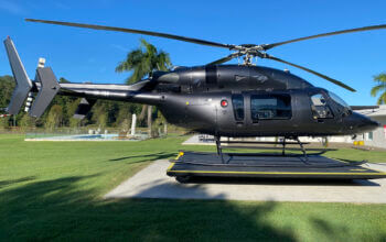
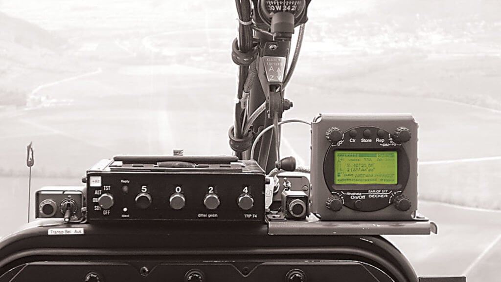
“It is still called RDF, but that’s associated with old technology,” he said. “You no longer have an antenna and an ordinary receiver with RF cables everywhere. We have gone beyond that. The lightweight (4.4-pound/2-kilogram) white antenna-receiver unit you see mounted underneath the helicopters–and also now on drones (2.85 pounds)–is the complete RDF system.”
The white housing itself is the physical antenna element. It’s scanned in four different points, not mechanically but electrically. With a three-kilohertz period, it scans the four directions, simulating four physical antennas.
 Also inside the antenna-receiver unit is the broadband receiver, covering 118 to 470 megahertz (MHz). A central processing unit does all the processing: all algorithms that calculate the Doppler, all the averaging and the electrical rotations of the antenna.
“These features make it fitting for a number of applications where dimensions and weight are of the essence,” said Rigol. “Aircraft, drones, manpacks, vessels, towers . . . we fit quite well in all these applications.”
In 2009, RHOTHETA launched the airborne RT-600 series with multifunction and wideband capabilities in a single system: 118 to 470 MHz operational frequency range; Cospas-Sarsat channels, including beacon IDs and latitude-longitude location data, LoJack and ETS; and other public-safety-type signals.
Designed for all aircraft, the RT-600 is available in two versions: “A” for SAR applications and “L” for combined SAR/law enforcement and public-safety applications. The L-version has LoJack, ETS and medical beacon capabilities. “It builds on the functionality of the A-system,” said Rigol. “If you are just in the SAR business, the A-version is all you need. For law enforcement and public safety, the L-version is the one for you.”
Both versions are lightweight and easily installed. Acquisition and installation costs are reasonable and designed for any budget.
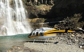
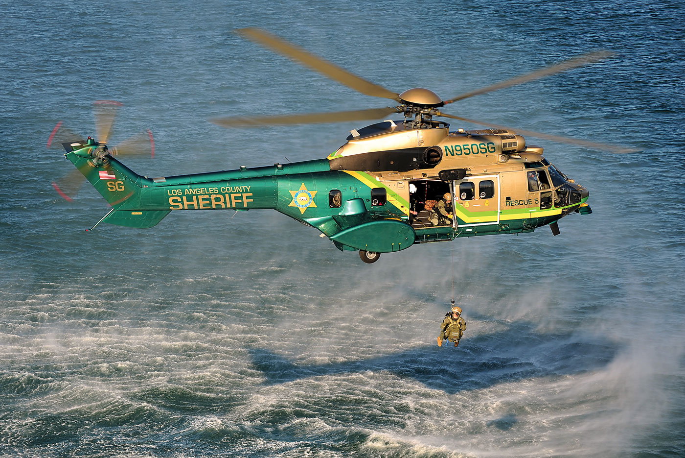
The RT-600 is used by the United States Air Force Auxiliary – Civil Air Patrol, as well as law enforcement airborne units such as the Los Angeles County Sheriff’s Department, California Highway Patrol and Texas Department of Public Safety. It has been proven to enhance the SAR mission, where saving even minutes can be critical when locating and rescuing injured persons within the “golden hour.”
 It has also proven instrumental in locating downed aircraft; disabled, sinking or capsized vessels; lost or injured hikers; and in LoJack stolen car recovery. The RT-600 is a “mission must” that will save not only lives but also time and money by reducing overall search time when compared to conventional SAR methods.
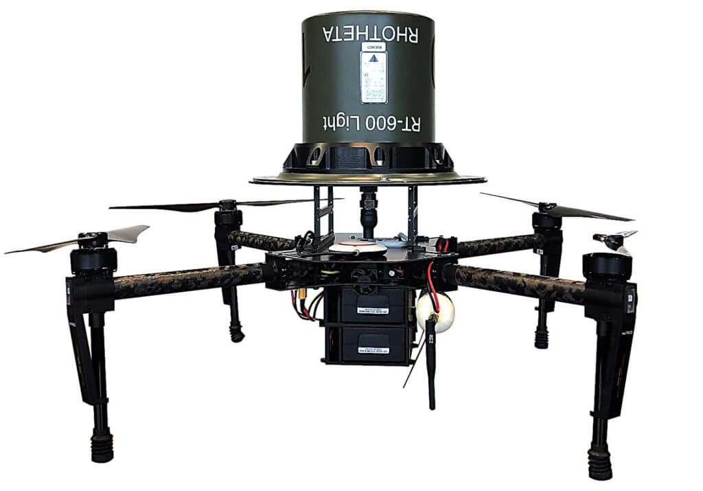
RHOTHETA’s newest variation is the RT-600 Light, a lighter-weight version of the antenna unit that can be mounted on drones–which provides rescuers with a height and range advantage.
“It’s like putting the antenna on a high tower,” said Alex Collantes, head of product support and sales engineering. “You have a much better range, increasing by several miles as the drone ascends.”
The result is less time spent searching and faster rescue or recovery. Links to devices on the ground can be via Wi-Fi or VHF/UHF data link.
The drone application has already proven popular. Rigol said dozens of drones with RDFs have been deployed in the last two years, including some with the Civil Aviation Administration of China.
“SAR operators carry the drones in a truck and deploy them vertically,” he said. “They go up to 200 feet, and it does miracles to overcome line-of-sight obstructions.”
 RHOTHETA’s RT-400, meanwhile, is an advanced multi-band RDF and location system designed for portable SAR and surveillance applications in manpack and vehicle configurations. The antenna unit is connected over Wi-Fi with the SAR operator’s tablet. It has GPS and compass capabilities, and runs DF Scout, an Android moving map app, eliminating the need for a separate display control unit.
“An advantage common to all RHOTHETA solutions is the price-to-performance ratio,” said Rigol. “All are top-quality commercial-off-the-shelf products. And our ultimate edge is fitting in all SAR platforms: manned aircraft, drones, vessels, vehicles and manpacks.”
What’s next for RHOTHETA?
Rigol said the company will be building AIS (automatic identification system) functionality into its antenna units. Some models will also incorporate Wi-Fi, GPS and compass functionality.
Also coming is wideband DSSS (direct-sequence spread spectrum) capability in compliance with the satellite-based Cospas-Sarsat Phase 2 and second-generation beacons.
“All these technologies and more will be coming into our next-generation products,” said Rigol.